
Specialist support across reality capture workflows, from field acquisition to project-ready spatial data.
I’m Roland Kriston, a Reality Capture & Geospatial Specialist with hands-on experience across field acquisition, laser scanning, mobile mapping, point cloud processing and spatial data workflows.
I support surveying companies, reality capture teams, geospatial specialists and project organisations that need additional technical expertise, experienced capacity or an independent specialist within an existing workflow.
Support can be provided remotely or, where the project requires it, through on-site involvement.
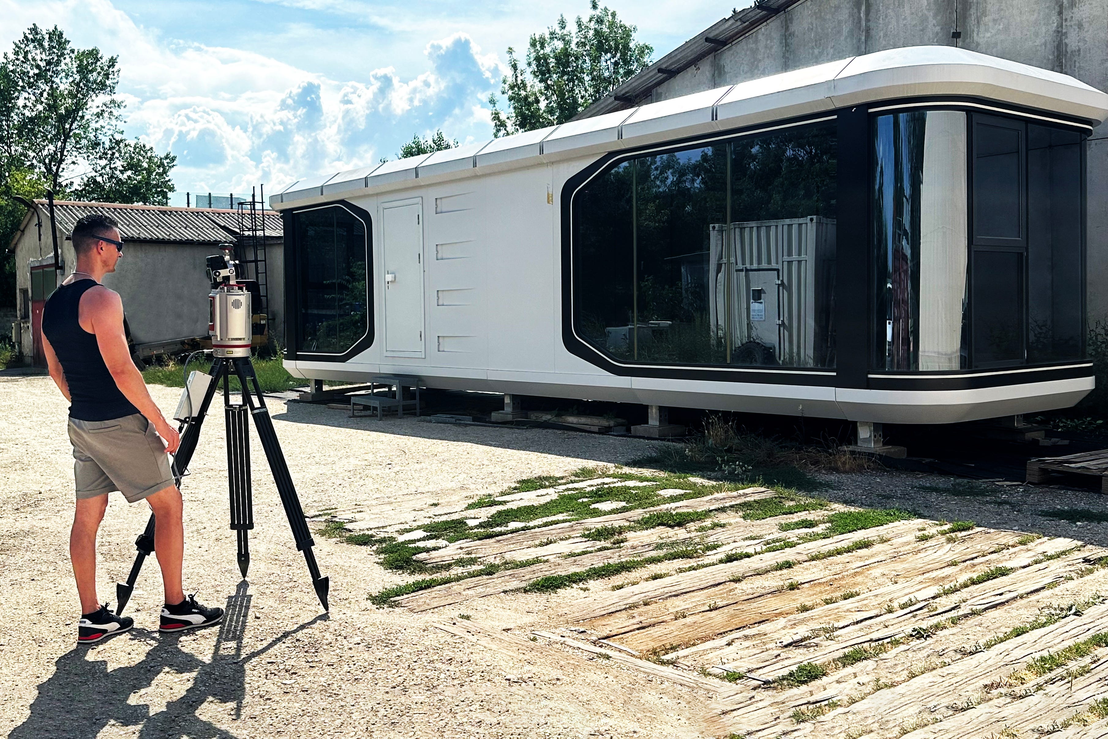
Reality Capture Workflow Support
Reality capture projects connect multiple stages: planning, field acquisition, data processing, quality control and preparation of the final spatial data.
A problem or decision at one stage can affect everything that follows.
Depending on the project, I can support areas including:
capture planning and workflow preparation
terrestrial laser scanning workflows
mobile mapping and SLAM workflows
field acquisition support
point cloud registration and alignment
georeferencing and coordinate handling
point cloud processing
QA/QC and data validation
workflow troubleshooting
preparation of project-ready spatial datasets
technical coordination between field and processing workflows
The scope does not need to cover the entire project. Support can focus on the specific stage where additional expertise or capacity is needed.
When Specialist Reality Capture Support Is Useful
Not every project needs another full project team.
Sometimes what is missing is an experienced specialist who can step into an existing workflow, understand the technical context and help move the work forward.
This can be useful when:
Additional technical capacity is needed
An existing team needs experienced support during a demanding project stage or temporary increase in workload.
A workflow needs to be defined or reviewed
The capture method, processing approach or intended deliverable requires technical consideration before the work progresses.
A project encounters a technical problem
Registration, georeferencing, dataset structure, data quality or another part of the workflow requires troubleshooting.
Field and processing requirements need to stay connected
Decisions made during acquisition need to reflect what the resulting data must support later in the project.
Specialist experience is required without expanding the permanent team
A defined task or project stage can be supported independently and integrated into the existing project structure.
🟠 From Field Acquisition to Final Data
Reality capture does not begin in the processing software.
The quality and usability of the final dataset are influenced by decisions made before and during acquisition: the environment, required accuracy, coverage, geometry, control, capture method and intended use of the data.
My experience across the complete workflow allows me to consider these dependencies rather than treating field acquisition and processing as isolated activities.
The objective is to build a workflow around what the project needs the data to achieve.
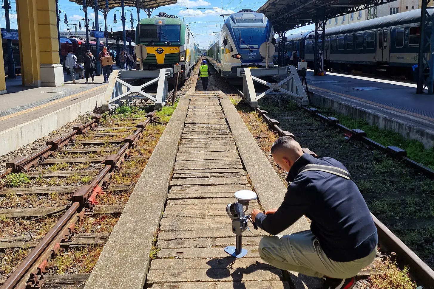
Where additional field expertise can add value
On-site involvement can be provided when a project requires experienced reality capture field support.
This may include terrestrial laser scanning, mobile mapping or other capture workflows depending on the project requirements and available technology.
I do not operate a fixed proprietary equipment fleet. Where field acquisition is required, the appropriate equipment can be provided by the client or project team, or arranged through rental or project partners depending on the assignment.
This keeps the capture approach technology-independent and project-specific rather than tied to a particular scanner or equipment platform.
🟠 Remote Reality Capture Support
A significant part of reality capture support can be provided remotely.
Once field data has been captured, I can work with existing project datasets and teams regardless of where the acquisition took place.
Remote support can include:
point cloud processing
registration and georeferencing
QA/QC and dataset review
processing troubleshooting
workflow assessment
technical problem-solving
preparation of project-ready spatial data
specialist input for ongoing projects
This makes it possible to add experienced reality capture capacity to projects internationally without requiring full-time on-site involvement.
Where field presence is necessary, on-site involvement can be considered separately as part of the project scope.
Remote support is available internationally. On-site involvement can be considered for projects in Hungary and across Europe, with travel and project arrangements agreed according to the assignment.
Related Services & Work
Point Cloud Processing →
Remote point cloud processing, registration, georeferencing, QA/QC and preparation of project-ready datasets.
Project Collaboration →
Broader specialist involvement in larger, multidisciplinary or ongoing reality capture projects.
Projects →
Selected case studies documenting real-world workflows, technical decisions and project outcomes.
Reality Capture Knowledge →
Technical articles covering technologies, workflows and decisions across the reality capture process.
It is to add the expertise or capacity the project needs at the point where it is needed.
Contact
Have a reality capture project that needs additional expertise, technical support or experienced project capacity?
Send a short description of the project, its current stage and the technical support you are looking for.
