Reality Capture Expertise. When Your Project Needs It.
Specialist point cloud processing and reality capture support for surveying, geospatial and reality capture teams.
I’m Roland Kriston, a Reality Capture & Geospatial Specialist with more than 15 years of hands-on experience.
Through RdesignR, I support surveying, geospatial and reality capture teams with specialist processing, technical expertise and project-based reality capture support.
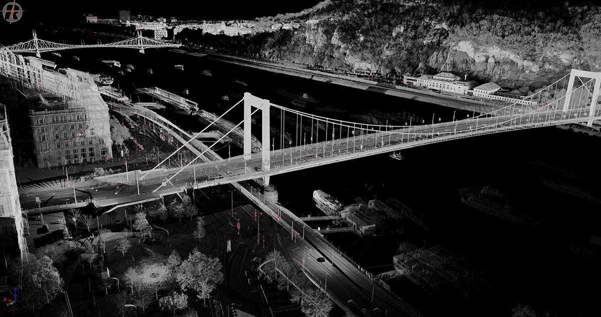
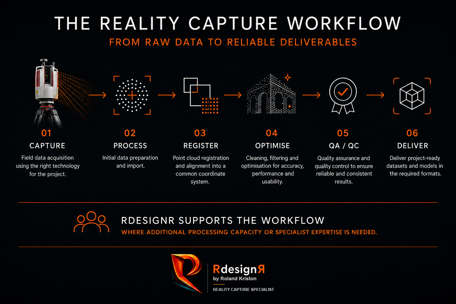
From captured data to project-ready point clouds
Reality capture projects do not end when the data is captured.
Registration, cleaning, optimisation, georeferencing, quality control and dataset preparation can quickly become a bottleneck, especially when project volumes increase, deadlines overlap or internal processing capacity is stretched.
That is where I can step in.
Through RdesignR, I provide project-based and ongoing point cloud processing support for teams that already work with reality capture data but need additional experienced capacity to move projects forward.
This can mean taking responsibility for a defined processing task, supporting an existing internal team, troubleshooting a difficult dataset or helping structure a more efficient workflow.
The goal is simple:
to help turn captured spatial data into reliable, organised and project-ready deliverables.


Point Cloud Processing & Reality Capture Support
Support can be provided remotely and integrated into your existing project workflow.
Typical areas of support include:
Point cloud registration and registration review
QA/QC
Point cloud cleaning and optimisation
Large dataset organisation and handling
Georeferencing support
Dataset, export and deliverable preparation
Processing troubleshooting
Reality capture workflow optimisation
Project-specific technical support
The exact scope depends on the project, the available input data, the software environment and the required output.
Some projects need support with one specific dataset.
Others need additional processing capacity during a busy period.
And some teams need an experienced external specialist they can call on whenever the workload exceeds their internal resources.
That's the kind of work I built RdesignR around.
Additional capacity. Without additional permanent headcount.
Reality capture workloads are rarely constant.
A surveying company may suddenly have several large projects running at the same time.
A field team may be capturing data faster than the internal processing team can deliver it.
A complex dataset may require additional expertise.
Or a deadline may simply leave no room for a processing backlog.
Hiring permanent staff is not always the right solution.
Through RdesignR, I provide a flexible alternative.
Project Support
For a defined dataset, processing task or reality capture project.
Specialist Support
For teams that need additional technical capacity or expert input for a limited period.
Ongoing Processing Support
For companies that regularly need access to external processing capacity without expanding their permanent team.
Start with one project.
No unnecessary complexity. No long-term commitment required to see how we work together.
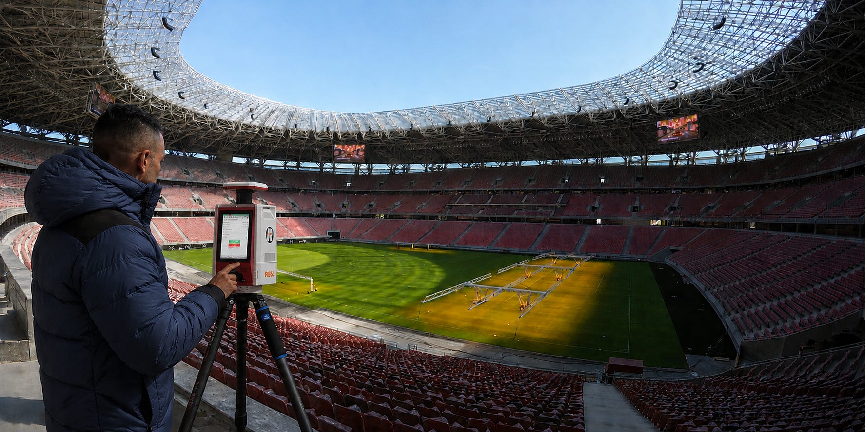
Reality Capture Field Support
Not every project can be handled remotely.
I am also available for selected project-based field assignments in Hungary and across Europe.
This may include:
Terrestrial laser scanning
Mobile mapping
GNSS-supported workflows
Reality capture fieldwork
Site documentation
Data acquisition support
Project-specific capture workflows
Field assignments can be delivered using client- or partner-provided equipment, allowing the technology to be selected around the requirements of the project rather than around a fixed equipment inventory.
The technology is selected around the requirements of the project not around a fixed equipment inventory.
Experience across the full reality capture workflow
Over the past 15+ years, my work has included:
Built environment documentation
Buildings and technical facilities
Large-scale point cloud datasets
Cemetery mapping
Educational facility surveys
Tourism and heritage environments
Spatial documentation
Registration and georeferencing
Point cloud optimisation
Mesh and 3D spatial model production
Multi-technology reality capture workflows
Reality capture is not simply about operating a scanner or processing a point cloud.
It is about understanding the relationship between the site, the technology, the data, the workflow and the final deliverable.
That wider perspective is at the core of how I work.
Every reality capture project is different. My role is to understand the technical challenge first, then determine the most appropriate workflow, technologies and level of support required.


An Independent Reality Capture Practice
RdesignR is not built around a fixed fleet of equipment.
It is built around technical expertise, practical experience and selecting the right workflow for each project.
For remote processing projects, I can integrate into existing reality capture workflows and provide additional technical capacity where it is needed.
For field projects, I regularly work alongside clients and trusted project partners whenever additional expertise or project requirements call for it.
The project defines the technology — not the other way around.
RdesignR is my independent professional practice, bringing together technical expertise, project experience and the flexibility to adapt to each project's requirements.
One specialist when that is enough.
The right collaborators when the project demands more.
Selected Projects
Real projects are the best way to understand how I work.
Explore selected reality capture and spatial data projects, including the technical challenges, workflows and decisions behind them.
Field Notes
Practical observations, lessons and technical insights from my work with reality capture technology, spatial data and point cloud workflows.
Let’s work together.
Your team may already have the technology, the field capacity and the data.
What you need might simply be experienced specialist capacity to help move the project forward.
If you’re working with a complex point cloud dataset, facing a processing backlog or planning an upcoming reality capture project, let’s talk.